In modern agriculture, precision is crucial for success, and drone mapping has emerged as a powerful tool to improve fertiliser spreading efficiency. But how does this cutting-edge technology work, and what advantages does it offer to farmers? Let’s explore!

What is Drone Mapping?
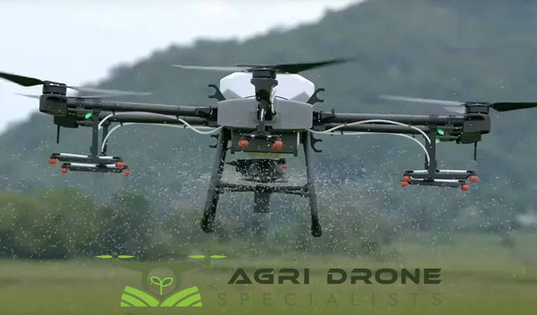
Drone mapping uses unmanned aerial vehicles (UAVs) equipped with advanced imaging systems to create detailed, high-resolution maps of agricultural fields. These maps provide accurate data on various factors such as crop health, soil conditions, and terrain variations. This information is key to improving fertiliser application strategies.
Optimising Fertiliser Application
Drone mapping enables farmers to apply fertiliser with pinpoint accuracy, targeting areas that need nutrients the most. Traditional methods often involve spreading fertiliser evenly across fields, which can lead to over-application in some areas and wasteful runoff. With drone-generated maps, farmers can identify zones that require more or less fertiliser, ensuring each area gets exactly what it needs.
Studies suggest that using variable rate technology, informed by drone data, can reduce fertiliser costs by up to 30%. This leads to significant savings while maintaining or even improving crop yields.
Increased Efficiency and Coverage
Drones can survey large areas quickly and efficiently, even over rough or uneven terrain where conventional machinery might struggle. This is especially valuable in regions with dense vegetation or challenging landscapes, such as during gorse and forestry spraying. Drone mapping allows for detailed assessments of these areas, ensuring that fertiliser is applied where it’s most needed and hardest to reach.
Real-Time Data for Better Decision Making
One of the key benefits of drone mapping is its ability to collect real-time data. Farmers can continuously monitor crop health and soil conditions, allowing them to adjust fertiliser application as needed. If certain areas show nutrient deficiencies, farmers can respond immediately with targeted fertilisation, ensuring crops receive the nutrients they need when they need them.
Promoting Environmental Sustainability
Besides improving efficiency, drone mapping also contributes to environmental sustainability. By reducing overuse of fertilisers and minimising nutrient runoff into nearby water bodies, this technology helps protect ecosystems while supporting sustainable farming practices. Precision agriculture like this strikes a balance between productivity and environmental stewardship.
Conclusion
Drone mapping is revolutionising the way fertiliser is applied in agriculture, offering significant benefits such as cost savings, improved crop health, and environmental sustainability. As the future of farming moves toward more data-driven practices, drone technology will continue to play a critical role in enhancing efficiency and boosting yields.
Looking to optimise your fertiliser application? Agri Drone Specialists in Nelson offer advanced drone mapping services to help you maximise productivity and minimise waste. Discover the future of farming today!