
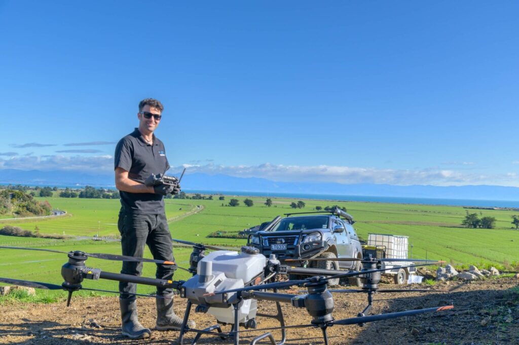
Are you up to speed on the latest advancements in agriculture? Have you explored the realm of drone mapping services? It’s a revolutionary technology empowering farmers to optimize their yields while minimizing resource consumption.
Equipped with modern sensors and cameras, drones provide a unique aerial perspective of farms, offering farmers invaluable data for informed decision-making.
Data Collection: Drones are capable of collecting multispectral and LiDAR data, alongside detailed photos, providing insights into crop health, soil conditions, drainage patterns, and pest infestations. This early detection capability enables farmers to address potential issues promptly.
Field Monitoring: With regular drone mapping, farmers can monitor vast fields with unparalleled frequency and accuracy. The collected imagery aids in identifying diseased or stressed crop patches, assessing plant density, and tracking growth rates throughout the season. Real-time monitoring facilitates timely interventions, ensuring optimal crop health.
Precision Agriculture: Leveraging drone-generated maps overlaid with data on soil composition and weather patterns enables targeted interventions at the individual plant or sub-field level. This customized approach minimizes input wastage and maximizes yield potential through precise irrigation, fertilization, and pesticide application.
Crop Scouting: Say goodbye to labor-intensive field inspections! Drone mapping streamlines the process by efficiently covering large areas. Drones can be programmed to follow predefined flight paths or manually navigated to specific areas of interest, facilitating rapid identification of crop issues and enabling timely remedial actions.
Yield Mapping: Drone mapping facilitates the generation of yield maps, offering insightful information on the geographic diversity within fields. Analysis of these maps helps identify high-yielding areas and factors influencing yield variations, such as soil fertility or water availability, aiding in future crop planning and resource allocation strategies.
Regulatory Compliance and Safety: Operating drones in agriculture necessitates adherence to governing rules and regulations. Strict safety procedures are imperative to ensure responsible drone operation and mitigate risks. Professional drone mapping services are recommended to avoid legal issues and ensure compliance.
Cost-Benefit Analysis: The incorporation of drone mapping into agricultural operations yields numerous benefits, including increased yields, reduced input costs, and enhanced decision-making capabilities. Conducting a comprehensive cost-benefit analysis allows farmers to evaluate the potential return on investment (ROI) of integrating drone mapping technology.
Conclusion: Drone mapping represents a transformative force in agriculture, providing actionable insights for optimized crop management. By embracing this innovative technology, farmers can unlock new levels of efficiency and productivity, navigating challenges and seizing opportunities for a prosperous future.
Drone mapping is not just an innovation; it’s a game-changer empowering farmers to revolutionize their agricultural practices. For reliable drone mapping services, trust Agri Drone Specialists! We also offer drone seeding services to assist farmers and landowners with precision agricultural solutions. Contact us at 027 323 8155 or alex@agridronespecialists.co.nz to discuss your drone mapping requirements!